Welcome to North Sunderland Harbour's official website
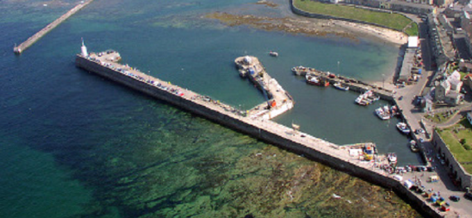
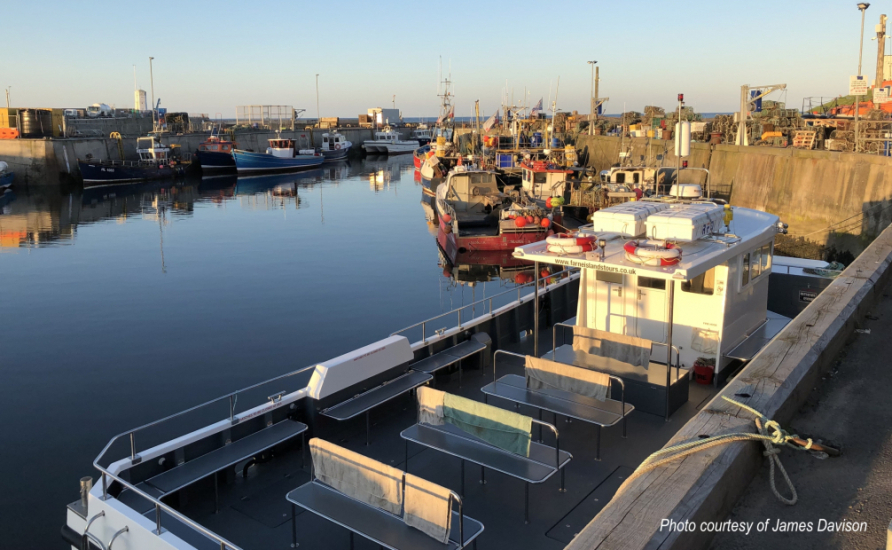
Probably better known now as Seahouses Harbour, North Sunderland Harbour (its correct title), began life as a small wooden jetty between two natural rock promontories. It lies at the east end of the village of Seahouses in north east Northumberland in close proximity to the world famous Farne Islands. Nowadays, the harbour is enjoyed by thousands of visitors who come to visit the Farnes, go charter diving and angling or just to simply enjoy a pleasant stroll along the piers of this picturesque harbour.
We want you to enjoy your visit to the harbour but would like to point out that the harbour is a busy working harbour with many risks, some obvious some not so.
Please follow the instructions on signs around the harbour to stay safe.
Co-ordinates of harbour mouth
55º 35.057’N 001º 38.912’W
Harbour lights characteristics
North Pier Lighthouse 55º 35.030’N 001º 38.939’W Fixed Green
SE Breakwater 55º 35.049’N 001º 38.889’W Flash Red 2.5s
Fog Signal 1 prolonged blast every 2 minutes
APPROXIMATE DEPTH OF WATER (See also link to Tide Tables)
Outer Harbour: (at Entrance between Piers)
Ordinary Spring Tides 3.96 Metres
Ordinary Neap Tides 2.74 Metres
Inner Harbour: (at Entrance between Inner Piers)
Ordinary Spring Tides 3.50 Metres
Ordinary Neap Tides 2.29 Metres
Note: The Channel connecting the two Entrances mentioned shoals very gradually and regularly between the depths stated.
Crystal Ball
Check out our new link to North Sunderland Forecasts here. You'll find info on tides, rain, wind, UV, humidity, pressure, water temperature, visibility and fish activity to name a few... it doesn't predict the lottery results though; which is a shame!